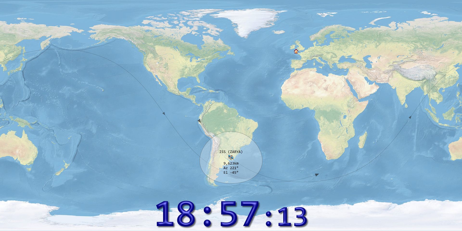
Satellite
Simple in theory, in practice a lot of code! Display the track and footprint for one main and up to ten other satellite definitions. The main satellite's azimuth and elevation are optionally passed to a rotator program via the DDE server.
Celestrak
Data is downloaded from Celestrak in OMM XML format. The file used is one of:
- Active - all active satellites, size approximately 7 MB,
- Amateur, or
- Weather.
Centre
From the Home panel in the ribbon bar optionally select Satellite as the centre of the display.